
LINZ NZ6152 Pelorus Sound & Havelock Paper Chart
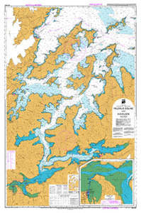
Navigate reliably through the Marlborough Sounds with the LINZ Paper Chart NZ6152 – Pelorus Sound & Havelock. This official hydrographic chart, scaled at 1:50 000, is printed on durable, weather-resistant paper and delivered folded in a clear zip-lock pouch for onboard protection
Perfect for recreational boaters, charter skippers, or fishing trips, it covers the full extent of Pelorus Sound, Te Hoiere, and Havelock with precise depth contours, bush-lined shorelines, and navigational aids—ideal for route planning and safe coastal navigation.
Key Features:
Official LINZ hydrographic chart #6152 for Pelorus Sound & Havelock
Scale 1:50 000 – balances detail and overview
Durable format: weather-resistant paper, clear zip-lock pouch
Shows depths, shorelines, navigation aids, reefs, and hazards
Essential for Coastal and inshore navigation around the Marlborough Sounds
Ideal for safety-conscious mariners, those exploring bay anchorage, or keeping a reliable paper backup.
- Store:
- Discount Marine
- Price:
- $30