Anecdote 7 views ♡
-
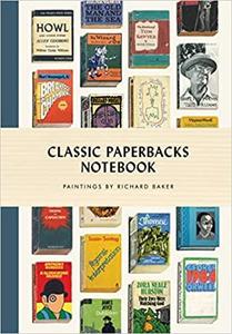 $44.99Classic Paperbacks Hardcover lined NotebookBeautifully illustrated near-photographic paintings of beloved real books from the most iconic writers from the nineteenth century to the modern era displayed on each cover of this unique notebook.Take literary inspiration with you everywhere you go with the new Classic Paperbacks Notebook, featurin...Buy from Store 0 0
 -
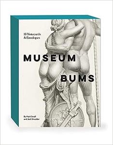 $43Museum Bums 16 Notecards & EnvelopesA celebration of classical art, history, and shapely derrieres‚ Museum Bums Notecards‚ are sure to get any recipient giggling.From the lusciously rendered bottoms of Renaissance painting to the abstract curves of contemporary art, these sixteen all-occasion notecards are a sight to behind behold...Buy from Store 0 0
 -
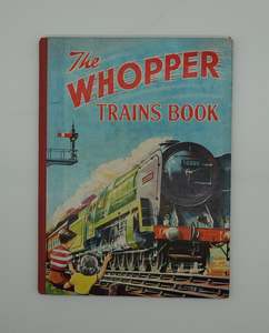 $33The Whooper Trains Book 1953Stunning hard cover collectible with colour frontis illustration and b&w art work through out.VG condition.Buy from Store 0 0
 -
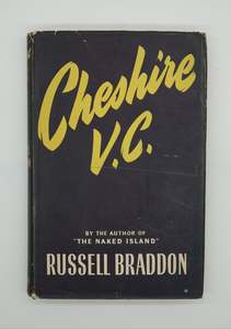 $42Cheshire V.C A Study of War & Peace, with ephemeraFirst edition, published by Evans Brothers, London 1954. With a hand written note inside frontis describing family history.VG, nice dust jacket, cloth hard cover, 217ppBuy from Store 0 0
 -
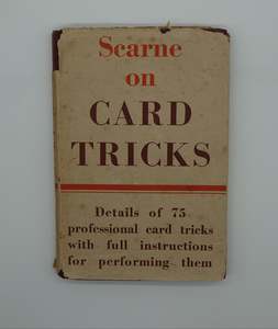 $87A scarce copy of Scarne on Card Tricks, first edition 1953This lovely old treasure hides behind a worn dust jacket but is in VG condition overall for its age.Published by Constable, cloth hard cover, hand card trick sketches through-out. 138pp.Buy from Store 0 0
 -
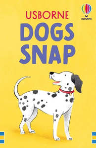 $15.99A classic twist on an iconic card game.... DOG SNAPEnjoy the classic matching game with this pack of snap cards illustrated with delightful dogs.A boxed set of 52 beautifully illustrated cards perfect for playing the classic family game of snap - or other matching games. Charming illustrations of dogs – from big to small, smooth to furry, dashing...Buy from Store 0 0
 -
 $37Origami PetsWith 250 sheets of specially designed printed paper and a 64-page instruction book that guides you step by step through 15 wonderful animal paper projects, from a delightful dachshund to a cuddly hamster and even a perfect Persian cat. These friendly animals can be used as lovely gifts to give to fr...Buy from Store 0 0
 -
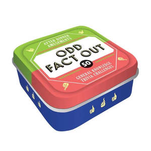 $22.99After Dinner Amusements Odd Fact OutThe elephant is the world’s largest land mammal. Elephant tusks are teeth, not horns. Elephants sleep up to 8 hours a day. Can you spot the odd fact out?Pull a card and ask the other players to identify which of three pieces of trivia is not actually true! With trivia challenges ranging from histo...Buy from Store 0 0
 -
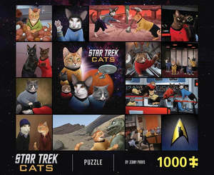 $41.50Star Trek Cats 1000 piece puzzleA hilarious take on the original Star Trek crew, but this time with a crew of cats! Perfect for fans of all ages to enjoy solving together.1000 pieces creating an image of the crew aboard the U.S.S Enterprise with a feline twist! This is the perfect gift for Star Trek lovers, cat lovers and anyone i...Buy from Store 0 0
 -
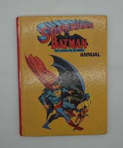 $34Superman Batman With Robin the Boy Wonder Annual 1975!Hard cover annual with colour and b&w illustrations. Spine damage. Pages loose.Buy from Store 0 0
 -
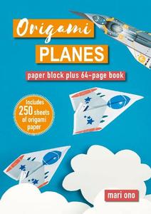 $42Origami PlanesMake your paper FLY with 15 fun and easy origami plane models that adapt the typical paper plane into speedy, clever and interesting creations.This exciting collection from Mari Ono is the perfect introduction to origami paper-folding, as you make planes, super-jets, rockets, gliders and more. Each...Buy from Store 0 0
 -
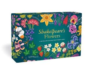 $42Shakespeare's Flowers, a 1000 piece circular puzzle by Rebecca HarrisRoses, lilies, violets, and marigolds are among the 50 flowers, all featured in the works of Shakespeare, that wind around this beautifully literary circular jigsaw puzzleShakespeare grew up in the English countryside and filled his works with references to flowers, plants, animals, and insects. Cel...Buy from Store 0 0
 -
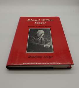 $56Edward William Seager - Pioneer of Mental Health by Madeleine SeagerA biography of early New Zealand settler and pioneer Edward William Seager, who was important in Christchurch's early development before becoming the first Steward of Sunnyside Asylum, the city's first mental hospital.First edition, published by the Heritage Press, 1987Hard cover, 299pp. VG conditio...Buy from Store 0 0
 -
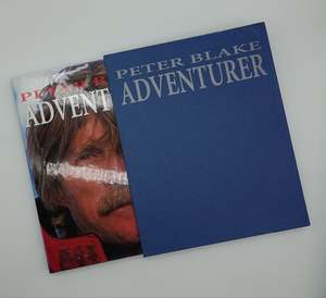 $73Peter Blake ADVENTURER, Boxed Limited First EditionPublished by Unlimited Event Publishing in 1996 this attractive hard cover coffee table book comes in a cloth hard back slip case, Limited Edition Number 4355. A nice legacy of an famous icon.VGBuy from Store 0 0
 -
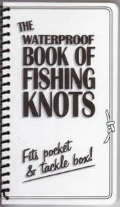 $16Waterproof Book of Fishing KnotsA new edition of the best-selling fishing knots book.The most common reason for the "one that got away" is knot failure especially that once in a lifetime fish. This little book is the perfect remedy for that problem. Simple to understand black and white illustrations and straightforward text make i...Buy from Store 0 0
 -
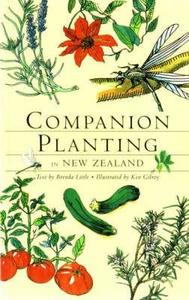 $30Companion Planting in New Zealand by Brenda LittleThe ultimate home gardener's guide to work with nature to grow healthy plants.Companion Planting in New Zealand helps you work with nature to get the best from your garden, producing cabbages that 'squeak with health' and beans that 'snap like a gunshot'. Every tip in this pocket-sized book has work...Buy from Store 0 0
 -
 $38.60No Pit Stops The Business of Going All InWhat drives success?It started with wide-open roads and a barefoot Kiwi childhood, and has taken him to the top of New Zealand business.Grant Baker has done it all, driven all the way by ambition, resilience, and a love of all things fast. In No Pit Stops, Grant recounts his highs and lows – from...Buy from Store 0 0
 -
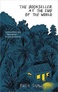 $41.25The Bookseller at the End of the WorldA rich, immersive, funny and heartbreaking memoir of the charming bookseller who runs two tiny bookshops (and planning more) in the remote village of Manapōuri in Fiordland, in the deep south of New Zealand.Ruth Shaw weaves together stories of the characters who visit her bookshops, musings about f...Buy from Store 0 0
 -
 $51The Everday HerbalistA comprehensive guide to herbs, covering everything you need to know, from how to grow them successfully in your garden to how to use them for health and wellbeing. The Everyday Herbalist ‚ contains ‚ detailed information on 30 must-have herbs and usage suggestions for a wide variety of others.L...Buy from Store 0 0
 -
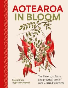 $61Aotearoa in Blooma lushly illustrated book about the history and uses of many of New Zealand's native flowering plants and trees, including their significance in te ao Māori.He puāwai, he kōrero. For every flower, a story.Did you know that Aotearoa has more than 2000 species of flowering plants, and that more tha...Buy from Store 0 0
 -
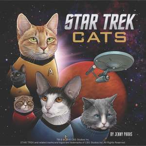 $38.99Star Trek Cats the book, by Jenny ParksStar Trek fans rejoice! Illustrator Jenny Parks has conjured a world that is a loving homage to Star Trek the original series (1966-1969), with an unexpected twist: Star Trek Cats.Featuring the classic characters in over 40 iconic scenes from Kirk in the Captains chair to Spock and Kirk exploring th...Buy from Store 0 0
 -
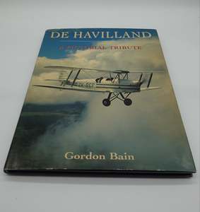 $31De Havilland A Pictorial TributeThis large coffee table book by Gordon Bain features numerous full colour illustrations of magic machines in flight. It includes a number of stunning examples.Published by Airlife, first edition, hard cover 1992. 148pp. 310mm by 235mmVG, foxing ands minor sun damage to inside frontisBuy from Store 0 0
 -
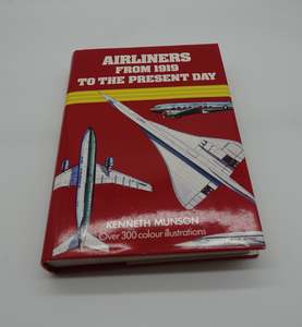 $27Airliners from 1919 to the present dayAttractive red cloth hard over book with very tidy dust jacket featuring the mighty Concorde. Written by Kenneth Munson, second edition published 1983Colour illustrations throughout. 352pp. VG , a very tidy copy.Buy from Store 0 0
 -
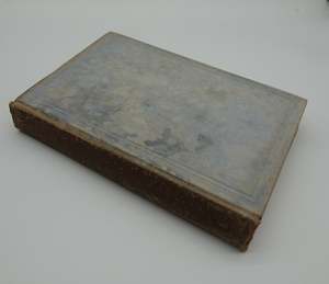 $34A scarce Aviation bible.. ABC of Aviation - A simplified guide to modern aircraft 1939This cloth hard cover book is a tad faded and scuffed on the outside but very tidy inside. Published by The Norman W. Henley Publishing Co. of New York it contains 418 pages with b&w illustrations of all things aviation from the day.G , strong spine, minor foxing.Buy from Store 0 0
×